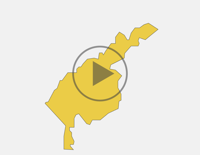
Tashkent region
Portrait of the region
Population
2829,3 thousand peoplePopulation density
540,7 person/km2Territory
20800 km2Largest cities
Almalyk city - 126,0 thousand peopleBekabad city - 91,9 thousand people
Chirchik city-153,75 thousand people
Angren city-186,4 thousand people
Natural area
The climate — from hot summer Mediterranean (Yangiyul, Buka, Kibray) to hot humid continental (Chirchik, Angren, Gazalkent) and cold semi-arid (Almalyk, Bekabad, Akhangaran). The average temperature in January is + 2.5°C, in July +35 °C. The rainfall ranges from 140 mm to 390 mm per year ,in the foothills — from 450 mm to 760 mm.
Relief-Central and Western parts of the region are flat. Chatkal-Kurama range is located on the North and East is part of the region.
Land resources
Total land area is 433817,8 thousand hectares. Of these, irrigated agricultural area is 359360.4 hectares, pasture area for livestock is 242382 thousand hectares
Water resorces
Chirchik river is richer in hydropower resources than Akhangaran river. Chirchik-Bozsuv stepped cascade has 19 hydropower plants. Chirchik river provides 70% of economic area with water for irrigation.
Chirchik river, along with field irrigation, provides water to population and industrial enterprises of such large cities as Tashkent, Chirchik, Yangiyul.
For effective use of water in the upper reaches of Chirchik , Chirchik reservoir has been created with a capacity of 2 billion cubic meters.
Akhangaran river is shallow, it feeds on thawed waters, floods are formed in spring. For rational use of river, Tuyabuguz reservoir (Tashkent sea) has been created. In Akhangaran, there is often low water, and therefore, in order to provide population with water, channel (called Big Tashkent) is held from Chirchik, and thus, both rivers are connected to each other.
In general, dozens of channels, such as Bozsu, Zakh, Karasu, Dalverzin, Northern Tashkent, Margunenkov and others were built on the territory of the economic region.
Investment potential of the region
Economy of the region
Natural and climatic conditions
Land and water resources
Total land area is 433817,8 thousand hectares. Of these, irrigated agricultural area is 359360.4 hectares, pasture area for livestock is 242382 thousand hectares.
Average annual rainfall
The precipitation varies 42 mm between the driest month and the wettest month. Throughout the year, the temperature ranges from 26.0 °C.Temperature
Average population density by districts
Employment of the population
Composition of the population (thousand people)
The educational level of economically active population (thousand people)
Average monthly wage by industry (thousand UZS)
Employment of the population by industry (thousand people)
Dynamics of the population (thousand people)
Infrastructure
Transport infrustructure
Communal infrustructure
Specialization of the region
Industry Volume(bn.UZS)
Industry Volume (bn.UZS)
Agriculture (bn.UZS)
Export and import
Any use (reproduction, publication, copying, reprinting, distribution, translation, broadcasting, processing and other methods of distribution) of the materials of the Investment Portal - Invest.gov.uz, without indicating the original source and a link to the Portal is strictly prohibited!


